Programmes - DEFLE - French as a Foreign Language
Courses we offer at the DEFLE
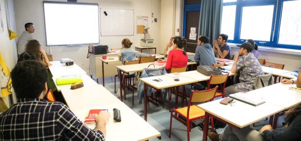
The DEFLE department offers a range of language and culture courses that are based on the Common European Framework of Reference for Languages (CEFR) and are outward looking towards other French-speaking countries. The DEFLE department’s teachers are all specialists in teaching French as a Foreign Language, and base their teaching on the most recent discussions in education and didactics. As a complement to their classes, they provide supplementary activities for students to complete on the digital platform E-Campus.
The DEFLE department offers a range of courses in order to best meet the needs of its students.